Coming Soon!
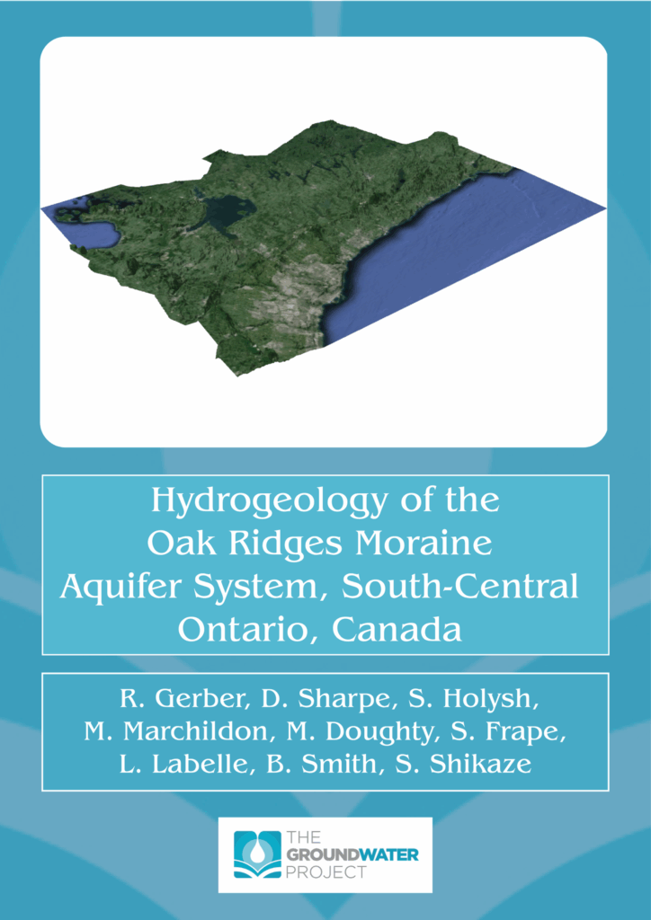
The Oak Ridges Moraine is an upland landform extending approximately 160 km in an east-west direction over much of south-central Ontario, Canada. Geologically this part of Ontario is characterized by Quaternary-aged sediments deposited over the last approximately 130,000 years overlying Paleozoic bedrock largely consisting of shale and limestone. Aquifer complexes within and beneath the moraine provide drinking water to hundreds of thousands of people and provide source water to streams which headwater along the moraine flanks. These streams provide key habitat for healthy functioning ecosystems. The study area is dominated by agricultural land use activities interspersed with urban centers (e.g., City of Toronto). Challenges to water resource management and ecosystem protection include increasing urban population and urbanized areas, climate change (increased severe weather events including flooding), and water quality impairment from many anthropogenic land use activities (e.g., road salt, pesticides, nutrients, PFAS). This book describes the geology and hydrogeology of the area, and the development and refinement of the conceptual model of flow system understanding. This knowledge and understanding have been applied to various water management initiatives that exist within the study area. A unique aspect of this book is its link to the Oak Ridges Moraine Groundwater Program (ORMGP), a partnership of local government agencies that collaboratively manage, analyse and make readily available hydrogeological information via an interactive online mapping website. The overall program goal is that Ontario learns from earlier work, and that water related decisions continually improve, having been made using reliable data and interpretations.

